


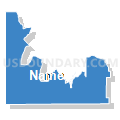
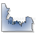
Curlew Voting District, Oneida County, Idaho
About
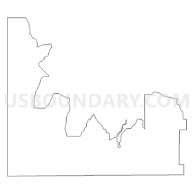
Outline
Summary
| Unique Area Identifier | 564330 |
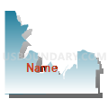
| Name | Curlew Voting District |
| County | Oneida County |
| State | Idaho |
| Area (square miles) | 280.56 |
| Land Area (square miles) | 280.36 |
| Water Area (square miles) | 0.19 |
| % of Land Area | 99.93 |
| % of Water Area | 0.07 |
| Latitude of the Internal Point | 42.08208820 |
| Longtitude of the Internal Point | -112.85522330 |
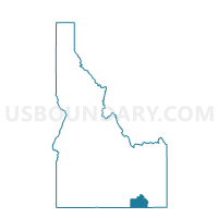
Maps

Graphs
Select a template below for downloading or customizing gragh for Curlew Voting District, Oneida County, Idaho


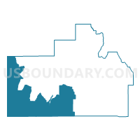
Neighbors
Neighoring Voting District (by Name) Neighboring Voting District on the Map
- Voting District 077004, Power County, ID
- Bridge Voting District, Cassia County, ID
- Holbrook Voting District, Oneida County, ID
- Howell Unincorporated Voting District, Box Elder County, UT
- Malad 4 Voting District, Oneida County, ID
- Snowville Unincorporated Voting District, Box Elder County, UT
- Sublett Voting District, Cassia County, ID
Top 10 Neighboring County Subdivision (by Population) Neighboring County Subdivision on the Map
- Albion CCD, Cassia County, ID (3,006)
- Howell-Snowville CCD, Box Elder County, UT (2,769)
- Rockland CCD, Power County, ID (650)
- West Box Elder CCD, Box Elder County, UT (383)
- Holbrook CCD, Oneida County, ID (355)
Top 10 Neighboring Unified School District (by Population) Neighboring Unified School District on the Map
- Box Elder School District, UT (49,975)
- Cassia County Joint School District 151, ID (22,454)
- Oneida County School District 351, ID (4,240)
- Rockland School District 382, ID (549)
Top 10 Neighboring State Legislative District Lower Chamber (by Population) Neighboring State Legislative District Lower Chamber on the Map
Top 10 Neighboring State Legislative District Upper Chamber (by Population) Neighboring State Legislative District Upper Chamber on the Map
Top 10 Neighboring 111th Congressional District (by Population) Neighboring 111th Congressional District on the Map
Top 10 Neighboring Census Tract (by Population) Neighboring Census Tract on the Map
- Census Tract 9601, Oneida County, ID (4,286)
- Census Tract 9601, Box Elder County, UT (3,152)
- Census Tract 9501, Cassia County, ID (3,006)
- Census Tract 9601, Power County, ID (1,651)
Top 10 Neighboring 5-Digit ZIP Code Tabulation Area (by Population) Neighboring 5-Digit ZIP Code Tabulation Area on the Map
- 84337, UT (11,393)
- 83252, ID (4,154)
- 83342, ID (1,371)
- 83271, ID (531)
- 84336, UT (281)
- 83243, ID (80)